
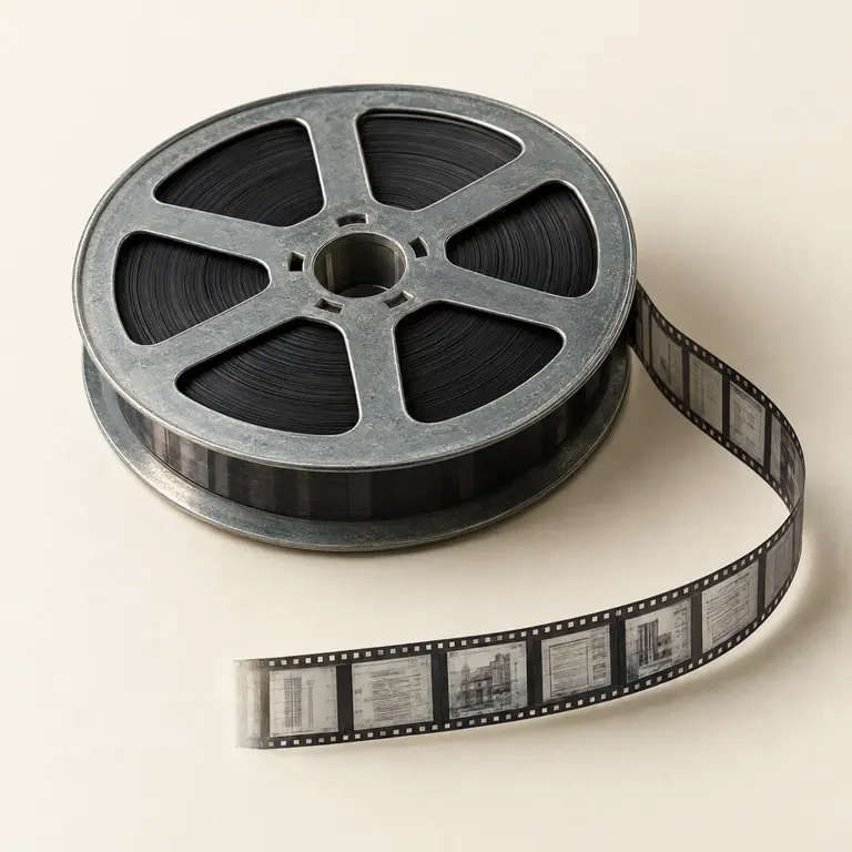
Example permit-and-plan retrieval map
Examples only. Select and map fields only when they exist in the organization-controlled collection or approved supporting records, and retain source context according to the approved project map.
Two common widths. Many recording layouts.
Often document-oriented collections
Often larger originals or drawings
Start with the collection and its authority
A building-records conversion project begins with the organization that controls the microfilm and can authorize access, handling, and delivery decisions. The scope may include permit files, plan images, inspection-related records, or a mixture, but the collection owner defines which series are in scope and which source references must remain connected to each image.
Public building-record request pages show that microfilm can be part of a municipal records workflow. They do not make this page a local records-request service. Residents, researchers, and property owners should use the responsible jurisdiction's public-record process; project discussions here concern an authorized organization's own collection.
Technical references:[1]
Inventory the physical and descriptive evidence
Before capture planning, document what is observable: reel or box labels, film width when known, roll or reel identifiers, targets, visible record ranges, existing registers, and material that appears mixed or incomplete. Keep associated labels and original order with the collection. The inventory distinguishes confirmed details from unknowns instead of inferring a permit structure from the carrier alone.
A permit collection may have separate plan rolls, permit jackets, chronological filming, or later additions. Existing drawer lists, reel lists, plan registers, and legacy databases can be useful sources for an index map when the collection owner approves their use. If a label and a visible image disagree, the agreed exception process should record that issue rather than silently choosing one value.
Define how permits and plans stay related
Permit and plan retrieval is a local records-design question, not a universal filing rule. A project can decide whether a permit and its associated plans are delivered as one record group, as linked records, or as separate images with a shared identifier. The choice should reflect the collection's existing order, the anticipated user task, and the receiving workflow.
Institutional plan-library guidance illustrates that address, permit number, and folio can be used as retrieval inputs in a particular local system. Those are examples, not required fields for every collection. Project mapping should use only identifiers present in the source or approved supporting records, and should retain a reel, frame, or equivalent source reference where useful.
Technical references:[2]
Choose retrieval fields from approved sources
Fielded indexing gives staff a defined route to a known record; it is different from relying on OCR to interpret every plan or permit page. A short data dictionary can name each selected field, its source, format, whether it applies to a permit or plan, and its relationship to the delivery record. Visible text, registers, and approved legacy data can each have different roles in that map.
The examples below are collection-specific options, not a prescribed schema. Plans may contain dense graphics, small notes, stamps, or revisions, so OCR—if requested—should be evaluated with representative material. It can support discovery where the source permits, but it does not replace the agreed identifiers used for retrieval.
| Example field | Use in an approved map |
|---|---|
| Property address | Connects a record to an address where that value is present and approved |
| Permit number | Supports permit-based retrieval when the collection uses one |
| Folio or local reference | Retains a locally defined property or records reference |
| Plan or record type | Separates plans, permits, or another approved document grouping |
| Source reel / frame | Routes a delivered image back to its microfilm context |
Technical references:[2]
Use a representative batch before scaling
A representative sample can include clear and difficult rolls, early and late date ranges, permits with related plans, oversized or fine-detail drawings, faint images, targets, and records with incomplete labels. It gives the project team a practical way to review document boundaries, orientation, image treatment, proposed index values, and the connection between an image and its source reference.
The collection owner can use that review to confirm what will count as a record, how multi-image plans are associated, which exceptions require notation, and how proposed fields are checked. A test batch informs the project specification; it does not establish that every roll will have the same image quality, indexing evidence, or OCR usefulness.
Prepare delivery without assuming a public portal
Delivery planning can connect image files with an agreed metadata map and a manifest or sidecar showing stable record identifiers, source references, and exception notes. The organization determines the approved access model, retention treatment, release decisions, and destination requirements. Digitization alone does not create public access rights or determine whether a plan may be distributed.
If the destination is a document-management system, define its fields, controlled values, file roles, and test process with the responsible administrator. National Microfilm can prepare a project-specific delivery package around the approved map; no universal repository import, public-facing search site, or native integration is assumed from the collection type.
Common questions
Can a resident use this page to request a permit or plan?
No. This page concerns authorized conversion of an organization-controlled collection. Requests for a particular property record should go through the responsible jurisdiction's records process.
Which fields can be used to index building records?
The fields are selected from the collection and approved source records. Depending on what exists, they may include address, permit number, folio or local reference, plan type, date or revision, and a reel/frame reference.
Can permit records and plans be delivered together?
They can be grouped or linked when the collection owner defines the relationship and the delivery map supports it. The grouping should be tested on representative material before a wider project is released.
Will plan text be searchable after digitization?
OCR may be considered for suitable printed content, but fine detail, stamps, handwriting, film condition, and drawing layouts can limit results. Agreed retrieval fields remain important for known-record access.
Sources & further reading
These references explain technical formats, standards or destination requirements. They do not imply endorsement of National Microfilm.